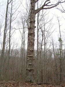
 Today’s hike took me out west of Columbia, Tennessee to the western Highland Rim. The decade old Devil’s Backbone State Natural Area sits on the western edge of the Natchez Trace Parkway near Gordonsburg. The natural area gets its name from the old nickname for the Natchez Trace. The 450 mile trip from Natchez, Mississippi to Nashville, Tennessee was frequently a difficult one involving murderers and thieves, Indians and floods. Travelers often attributed their troubles to the work of the Devil. And if that weren’t enough, it’s not the easiest 450 mile walk to take. For more information on the history of the Trace, click HERE.
Distance: 3.1 miles round trip
Time: 1.5 hours
Elevation change: approximately 100 feet total upclimb
Trail
type: dirt, some rock. Surprisingly not muddy after the rains yesterday.
Temperature: lower 50s, cold and overcast.
Significant
features: Forest and views of adjacent ridges during the winter.
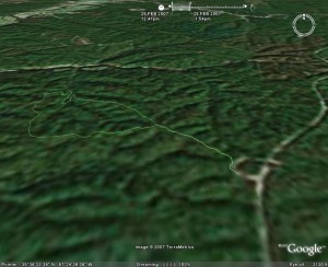
The trail has a 1/2 mile spur to the loop. The trail runs mostly along a 100 foot tall series of adjoining ridges. The loop starts a slight decent in Spring Hollow finally reaching Falls Branch (no bridge for the crossing). There’s another branch to cross (this one with a bridge), and then back up you go rather rapidly. The return side of the loop runs along another ridge and then rejoins the spur trail.
The trail is in the interior of the property, so its a nice quiet and undisturbed place. Also, chances are you’ll have your solitude on the trail as it isn’t heavily used.
Not much wildlife activity today. I did enjoy the ride to the trailhead with my parents and the hike with my dog Hannibal. I did enjoy the hike and will definitely be back for the spring wildflowers.

Download the Google Earth track
Pictures are HERE.